Changing your mode of transport on Google Maps is a breeze, allowing you to tailor your navigation experience perfectly. At worldtransport.net, we understand the importance of seamless navigation. This guide simplifies switching between walking, driving, transit, and other options, ensuring you always have the best route for your journey. Let’s explore how Google Maps enhances your travel using real-time traffic updates, alternative routes, and multimodal navigation.
1. Understanding Google Maps and Transportation Modes
Google Maps is a powerful tool, offering more than just directions; it provides a comprehensive suite of features tailored to various transportation needs. Knowing how to effectively use these features can significantly improve your travel experience.
1.1. Overview of Google Maps
Google Maps is a web mapping platform and consumer application offering satellite imagery, aerial photography, street maps, 360° interactive panoramic views of streets (Street View), real-time traffic conditions, and route planning for traveling by foot, car, bicycle, air and public transportation. According to a study by the Pew Research Center in 2023, 81% of smartphone users rely on navigation apps like Google Maps for directions and real-time traffic updates.
1.2. Available Transportation Modes
Google Maps offers a variety of transportation modes, each designed to provide optimized routes and information:
- Driving: Provides routes optimized for car travel, taking into account traffic conditions and road closures.
- Transit: Offers routes using public transportation such as buses, trains, subways, and trams, including real-time schedules and alerts.
- Walking: Calculates routes suitable for pedestrians, highlighting walking paths and pedestrian-friendly areas.
- Cycling: Suggests bike-friendly routes, considering bike lanes and elevation changes.
- Ridesharing: Integrates with ridesharing services like Uber and Lyft, displaying estimated fares and pickup times.
- Flight: Helps find and track flights.
1.3. Multimodal Navigation
Multimodal navigation in Google Maps combines different modes of transportation to provide the most efficient route. For example, it might suggest walking to a nearby bus stop, taking the bus to a train station, and then taking a train to the final destination. This feature optimizes travel by considering various transport options, ensuring users reach their destination quickly and conveniently. According to Google’s official blog, multimodal navigation has reduced commute times by up to 20% in densely populated urban areas.
2. Step-by-Step Guide: Changing Transportation Modes on Different Devices
Whether you’re using an iPhone, Android device, or desktop PC, changing transportation modes on Google Maps is straightforward.
2.1. On an iPhone
-
Open Google Maps: Launch the Google Maps app on your iPhone.
-
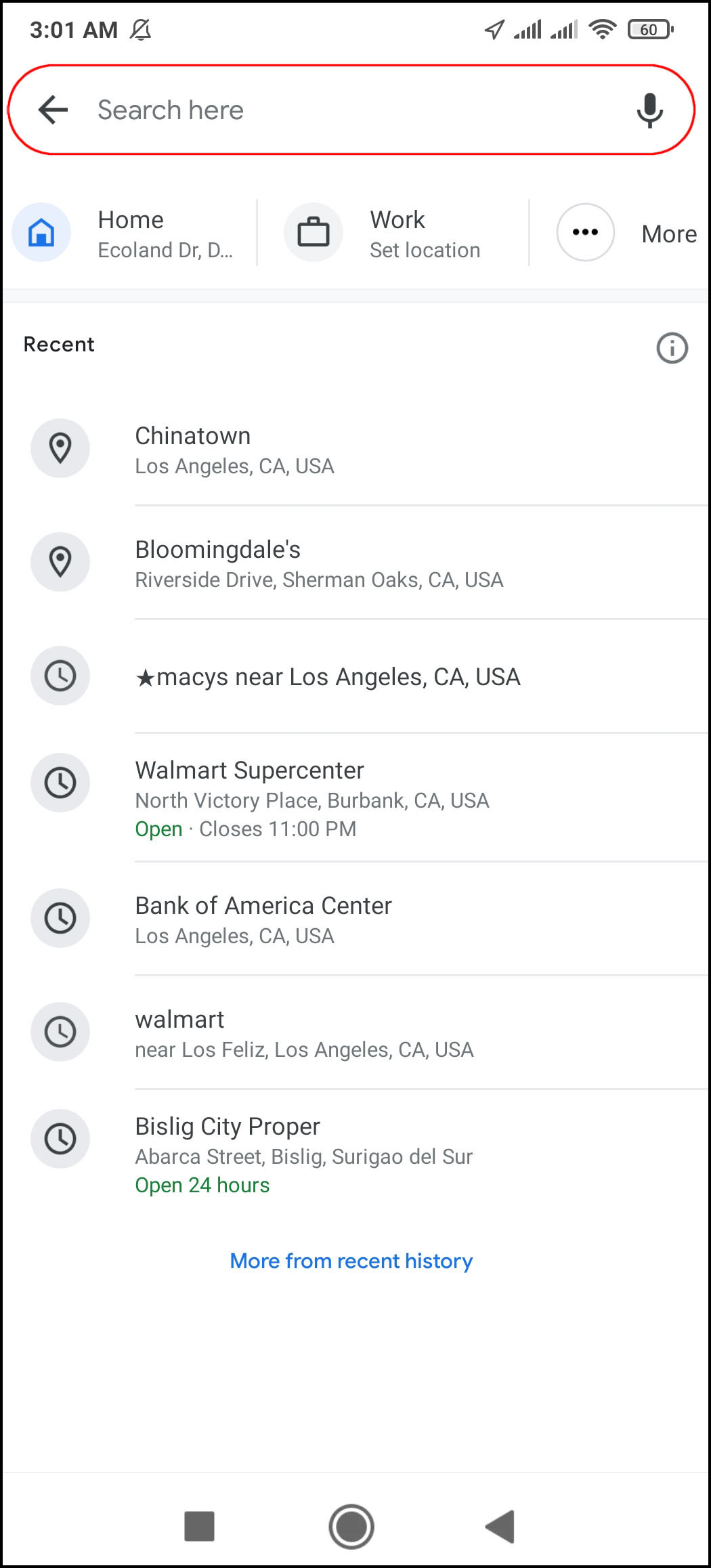
Enter Destination: Tap the “Search here” field, type in your destination, and tap “Search.”
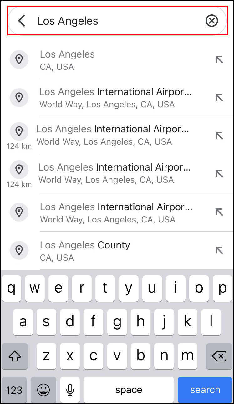 Typing destination into search bar on Google Maps iPhone
 -
Select Directions: Tap the “Directions” option below the map.
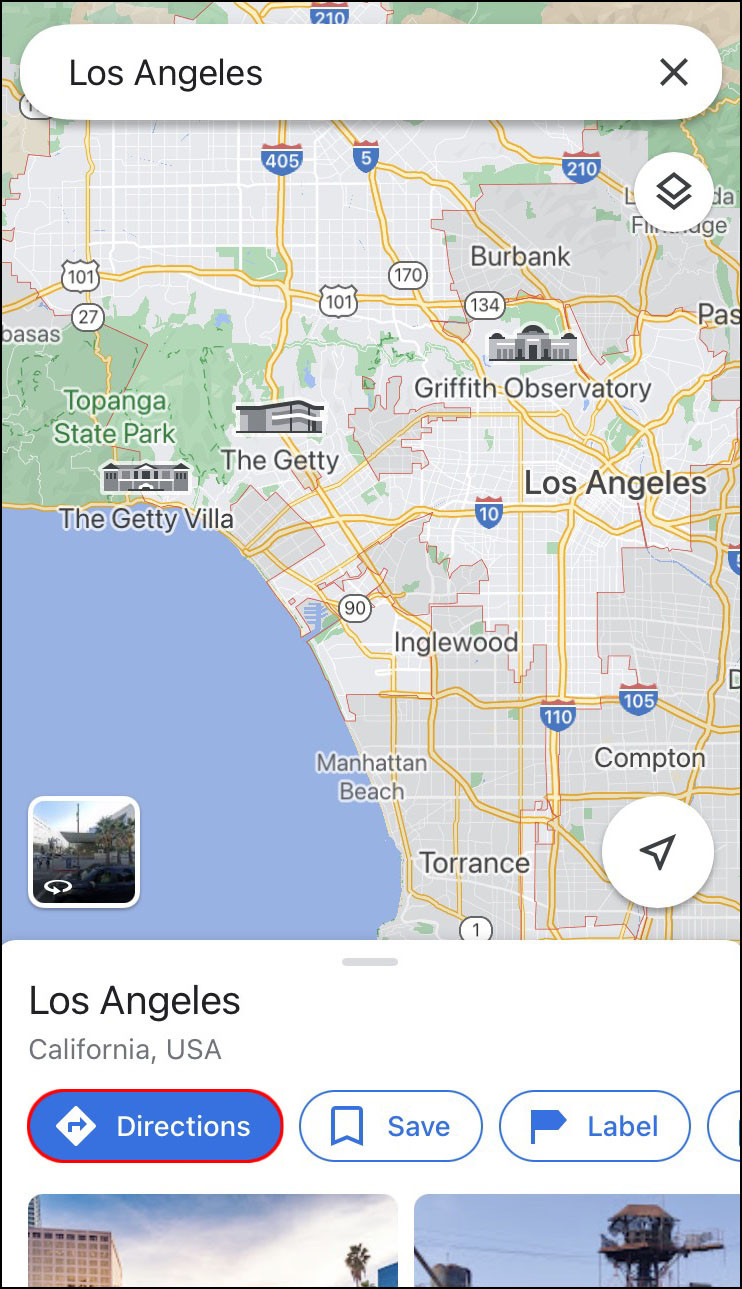 Tapping the Directions option in Google Maps on an iPhone
 -
Choose Starting Point: Select your starting location. If it’s your current location, tap “Your Location.” For another location, type it in.
 Choosing a starting point on Google Maps iPhone
 -
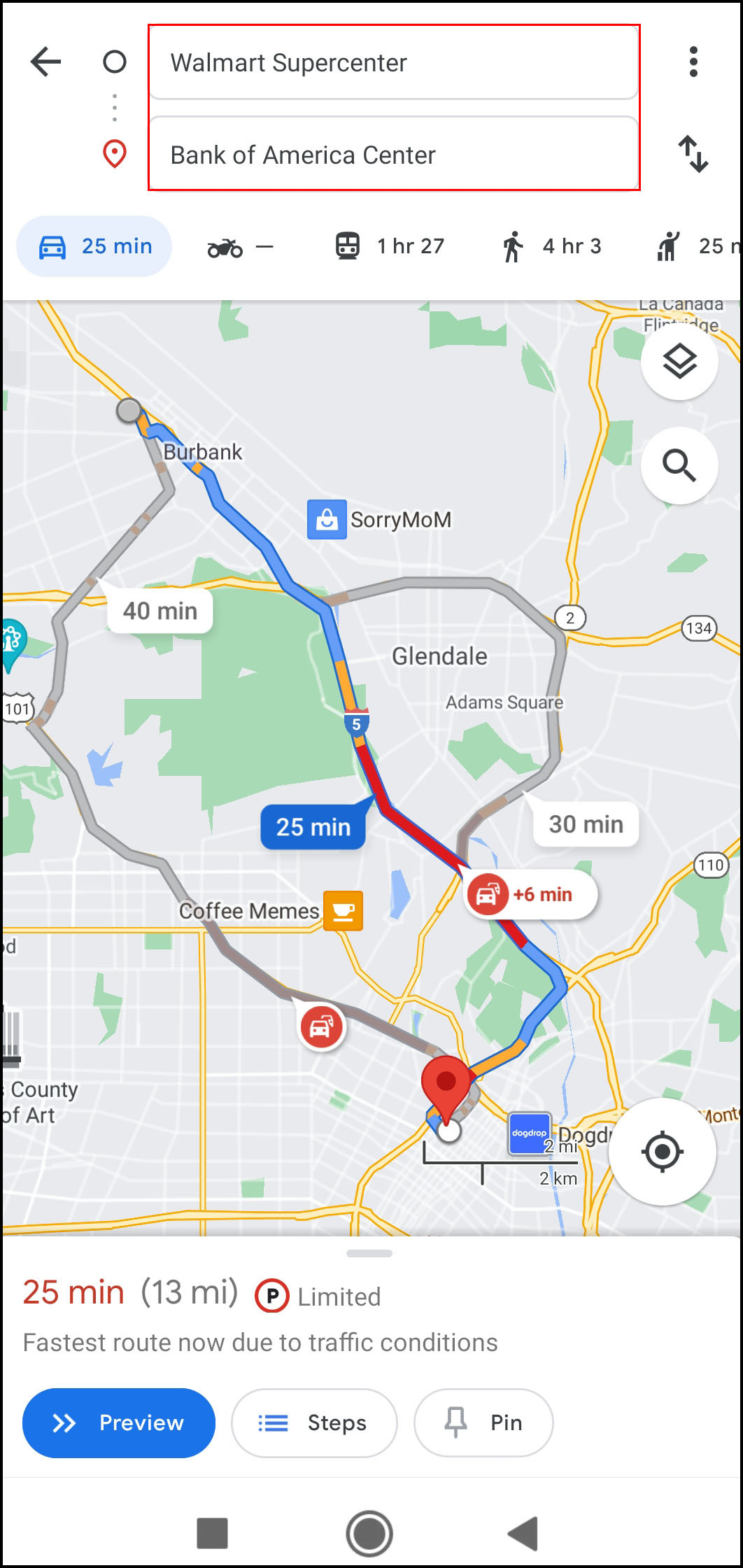
Select Transportation Mode: Tap the icon for your desired mode (car, transit, walk, bike, etc.) at the top of the screen.
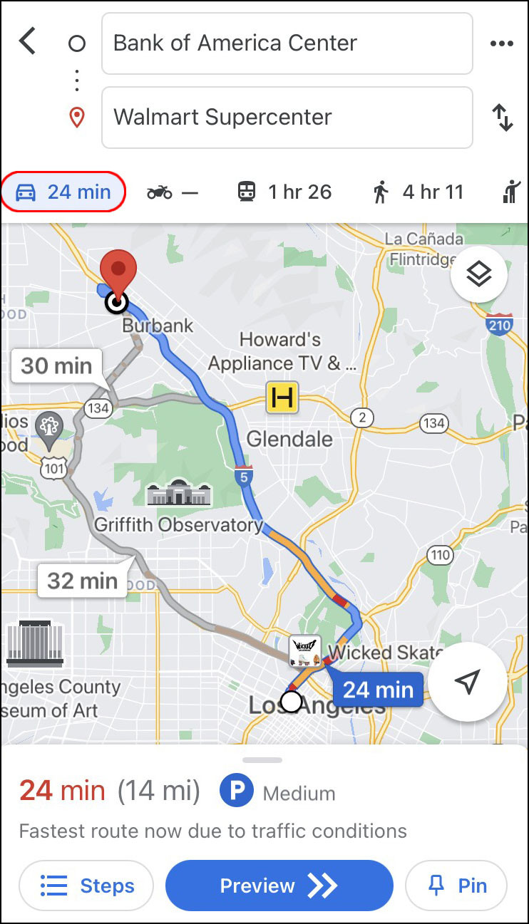 Selecting the car icon for driving mode on Google Maps iPhone
 -
Start Navigation: Tap “Start” at the bottom of the screen to begin your journey.
 Starting navigation on Google Maps iPhone
2.2. On an Android Device
-
Open Google Maps: Open the Google Maps app on your Android device.
-
Enter Destination: Tap the “Search here” field and enter your destination.
 Typing destination into the search bar on Google Maps Android
 -
Select Directions: Tap the “Directions” button under the location name.
-
Choose Starting Point: Tap “Choose location” to select your starting point or type it in the search field.
 Choosing a starting point for directions on Google Maps Android
 -
Select Transportation Mode: Tap the icon for your preferred mode (car, transit, walk, bike, etc.) at the top of the screen.
-
Start Navigation: Tap “Start” at the bottom of the screen.
2.3. On a Desktop PC
-
Open Google Maps: Go to the Google Maps website in your browser.
-
Enter Destination: Type your destination in the “Search Google Maps” field in the upper-left corner.
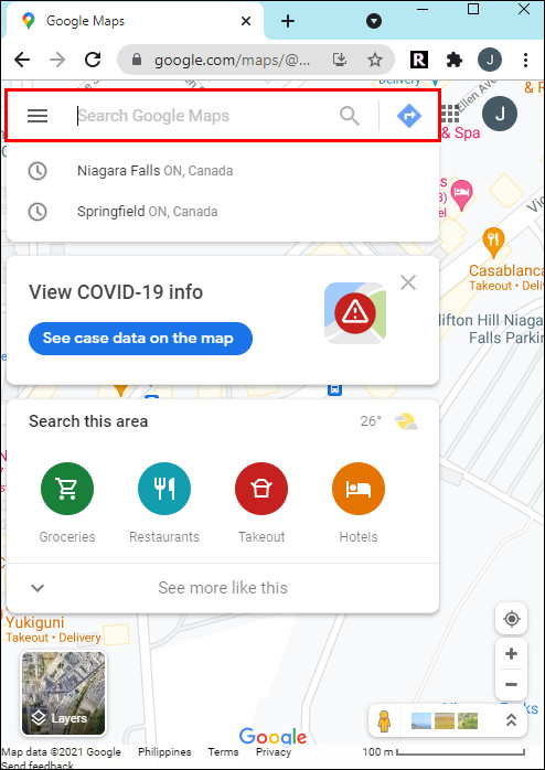 Typing destination into Google Maps on desktop
 -
Click Directions: Click the “Directions” button on the left sidebar.
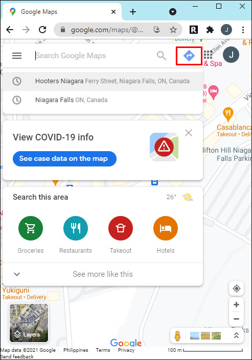 Clicking the Directions button in Google Maps on desktop
 -
Choose Starting Point: Enter your starting location.
 Choosing starting location for directions on Google Maps desktop
 -
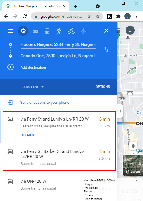
Select Transportation Mode: Find the icon for your desired mode (car, transit, walk, bike, etc.) in the upper-left corner and click on it.
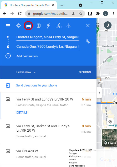 Selecting car icon for driving directions on Google Maps desktop
 -
Send Directions to Phone: Click “Send directions to your phone” to follow the route on your mobile device.
3. Optimizing Your Route with Google Maps
Google Maps offers several features to help optimize your route, ensuring you reach your destination efficiently and safely.
3.1. Real-Time Traffic Updates
Google Maps provides real-time traffic updates, displaying traffic conditions on your route with color-coded indicators:
- Green: Indicates normal traffic flow.
- Orange: Shows moderate traffic congestion.
- Red: Indicates heavy traffic congestion.
According to the U.S. Department of Transportation, using real-time traffic data can reduce travel times by up to 18%.
3.2. Alternative Routes
When planning your route, Google Maps often provides alternative routes, allowing you to choose the best option based on your preferences. Alternative routes are displayed in gray, with estimated travel times and distances.
3.3. Adding Stops
You can add multiple stops to your route, which is useful for planning trips with several destinations.
- Tap “Directions” after entering your destination.
- Tap the three-dot icon to the right of your starting point.
- Tap “Add stop.”
- Search for the location and drag it to the desired order using the three-line icon.
3.4. Voice Guidance
Google Maps offers voice guidance, providing turn-by-turn directions to help you stay focused on the road. You can customize voice guidance settings:
- Tap the headphone icon on the right side of the screen.
- Choose between “Mute,” “Alerts only,” or “Unmuted” modes.
- Change the language in the app’s settings.
3.5. Sharing Your Location
Sharing your location in real-time with friends and family can enhance safety and coordination during travel. Google Maps allows you to share your current location for a specified period or until you turn it off. This feature is particularly useful when meeting up with others or ensuring someone knows you’ve arrived safely. According to a survey by Pew Research Center, 67% of smartphone users have used location-sharing services for these purposes.
4. Google Maps for Specific Transportation Needs
Google Maps is versatile, providing tailored features for different transportation modes, enhancing the overall travel experience.
4.1. Driving
For drivers, Google Maps offers real-time traffic updates, alternative routes, and voice-guided navigation, ensuring efficient and stress-free journeys. The app also integrates with Android Auto and Apple CarPlay, allowing drivers to access maps and directions directly from their car’s infotainment system. According to a study by INRIX, drivers who use navigation apps like Google Maps can save an average of 27 minutes per day by avoiding traffic congestion.
4.2. Public Transit
Google Maps provides comprehensive public transit information, including real-time bus and train schedules, platform numbers, and service alerts. Users can plan their entire journey using public transportation, receiving step-by-step directions and estimated arrival times. The app also supports multimodal navigation, combining walking, bus, and train routes for optimal efficiency. Data from the American Public Transportation Association shows that cities with well-integrated transit information systems see a 15% increase in public transit usage.
4.3. Walking
For pedestrians, Google Maps offers detailed walking routes, highlighting pedestrian-friendly paths, parks, and landmarks. The app provides turn-by-turn directions, estimated walking times, and elevation information, making it easier to navigate on foot. Additionally, Google Maps integrates with augmented reality (AR) features, overlaying directions onto the real-world view through the smartphone camera, enhancing the walking experience. A study by the Pedestrian and Bicycle Information Center found that detailed navigation apps can increase pedestrian safety by up to 30%.
4.4. Cycling
Google Maps provides dedicated cycling routes, considering bike lanes, elevation changes, and traffic conditions. Cyclists can choose routes that prioritize bike-friendly roads and avoid steep inclines. The app also offers voice-guided navigation for cyclists, allowing them to keep their eyes on the road. According to research by the League of American Bicyclists, cities that invest in cycling infrastructure and provide accurate mapping data see a 20% increase in bicycle commuting.
5. Troubleshooting Common Issues
While Google Maps is generally reliable, you may encounter occasional issues. Here are some common problems and how to troubleshoot them.
5.1. GPS Accuracy
If Google Maps isn’t accurately locating you, ensure that your device’s GPS is enabled and that Google Maps has permission to access your location.
- iPhone: Go to Settings > Privacy > Location Services and ensure Google Maps is set to “While Using the App.”
- Android: Go to Settings > Location and ensure Location is turned on and that Google Maps has permission to access your location.
5.2. No Internet Connection
Google Maps requires an internet connection to provide real-time traffic updates and navigation. If you’re in an area with poor connectivity, download offline maps for the areas you’ll be traveling through:
- Open Google Maps.
- Tap your profile icon.
- Select “Offline maps.”
- Tap “Select your own map” and download the desired area.
5.3. Incorrect Directions
If Google Maps provides incorrect directions, ensure that your destination is entered correctly and that your transportation mode is set appropriately. You can also report incorrect directions to Google:
- Tap the three-dot menu icon on the directions screen.
- Select “Edit the map.”
- Follow the prompts to report the issue.
5.4. Battery Drain
Google Maps can consume significant battery power, especially when using GPS and real-time updates. To minimize battery drain:
- Reduce screen brightness.
- Close unnecessary apps running in the background.
- Use battery-saving mode on your device.
- Consider using an external battery pack for long trips.
6. Advanced Google Maps Features for Transportation
Beyond basic navigation, Google Maps offers advanced features that can further enhance your transportation experience.
6.1. Google Maps Timeline
Google Maps Timeline tracks your past trips and places you’ve visited, providing a detailed history of your travels. You can view your Timeline to remember where you’ve been, analyze your travel patterns, and even export your data for personal use.
- Open Google Maps.
- Tap your profile icon.
- Select “Your Timeline.”
6.2. Saving Favorite Locations
You can save your favorite locations in Google Maps, making it easier to find them later and get directions. Save locations as “Favorites,” “Want to go,” or “Starred places.”
- Search for a location.
- Tap “Save.”
- Choose a list to save the location to.
6.3. Customizing Map Settings
Google Maps allows you to customize various map settings to suit your preferences:
- Map Style: Choose between different map styles, such as “Default,” “Satellite,” or “Terrain.”
- Traffic Overlay: Enable or disable the traffic overlay to view real-time traffic conditions.
- Public Transit Overlay: Show or hide public transit lines and stations on the map.
6.4. Integrating with Other Apps
Google Maps seamlessly integrates with other apps and services, enhancing its functionality and convenience. For example, you can book rides with Uber or Lyft directly from Google Maps, compare prices, and track your driver’s location. Similarly, you can find and reserve parking spots through integration with parking apps like SpotHero and ParkMobile. According to Google’s developer documentation, these integrations streamline the user experience, making it easier to plan and execute trips efficiently.
7. The Future of Transportation with Google Maps
Google Maps continues to evolve, incorporating new technologies and features to shape the future of transportation.
7.1. Augmented Reality (AR) Navigation
Google Maps is integrating augmented reality (AR) features to enhance navigation, particularly for pedestrians. AR Navigation overlays directions onto the real-world view through your smartphone camera, providing intuitive guidance. According to Google’s official blog, AR Navigation reduces navigation errors by up to 50% in urban environments.
7.2. Integration with Electric Vehicles (EVs)
Google Maps is enhancing its support for electric vehicles (EVs), providing features such as EV charging station locations, real-time charging availability, and estimated charging times. The app also considers elevation changes and driving style to provide more accurate range estimates for EVs. Data from the U.S. Department of Energy shows that access to reliable charging information can increase EV adoption by up to 40%.
7.3. Autonomous Vehicle Support
As autonomous vehicles become more prevalent, Google Maps is playing a crucial role in their development and deployment. Google Maps provides detailed mapping data, real-time traffic information, and navigation capabilities for autonomous vehicles, enabling them to navigate safely and efficiently. According to a report by McKinsey & Company, autonomous vehicles could reduce traffic fatalities by up to 90% and save billions of hours in commute time.
8. Real-World Examples and Case Studies
Understanding how others use Google Maps to solve transportation challenges can provide valuable insights and inspiration.
8.1. Optimizing Delivery Routes
Logistics companies use Google Maps to optimize delivery routes, reducing fuel consumption and improving delivery times. By using real-time traffic data and route optimization algorithms, companies can minimize delays and increase efficiency. A case study by UPS found that using Google Maps for route optimization reduced driving distances by an average of 8%, resulting in significant cost savings.
8.2. Improving Public Transit Efficiency
Cities use Google Maps data to improve public transit efficiency, identifying areas with high demand and optimizing bus and train schedules. By analyzing ridership patterns and travel times, cities can make data-driven decisions to enhance the public transit experience. According to a report by the American Public Transportation Association, cities that use data analytics to optimize transit routes see a 10% increase in ridership.
8.3. Enhancing Tourism and Exploration
Tourists use Google Maps to explore new cities and discover hidden gems, finding local attractions, restaurants, and cultural landmarks. By using Google Maps, tourists can plan their itineraries, navigate unfamiliar areas, and access valuable information about their surroundings. A survey by TripAdvisor found that 72% of travelers use Google Maps to plan their trips and find local attractions.
9. Ensuring Safe and Responsible Navigation
While Google Maps is a powerful tool, it’s essential to use it responsibly and prioritize safety.
9.1. Avoiding Distracted Driving
It’s crucial to avoid distracted driving while using Google Maps. Always keep your eyes on the road and avoid manually entering destinations or adjusting settings while driving. Use voice-guided navigation and hands-free devices to minimize distractions. According to the National Highway Traffic Safety Administration (NHTSA), distracted driving was a factor in over 3,100 traffic fatalities in 2020.
9.2. Respecting Local Laws and Regulations
Always respect local traffic laws and regulations while using Google Maps. Pay attention to speed limits, traffic signals, and road closures. Be aware of local laws regarding phone use while driving and comply with all regulations. Violating traffic laws can result in fines, penalties, and increased accident risk.
9.3. Staying Aware of Surroundings
Google Maps provides valuable navigational information, but it’s essential to stay aware of your surroundings and use your judgment. Pay attention to road conditions, weather conditions, and pedestrian traffic. Be prepared to adjust your route or delay your trip if necessary. Relying solely on Google Maps without considering your surroundings can lead to unsafe situations.
10. Frequently Asked Questions (FAQs)
10.1. How do I change the language of voice guidance in Google Maps?
To change the language, go to Settings > Navigation settings > Voice selection.
10.2. Can I use Google Maps offline?
Yes, you can download offline maps by going to your profile icon > Offline maps > Select your own map.
10.3. How does Google Maps calculate walking time?
Google Maps estimates walking time based on an average walking speed of 3 mph (5 km/h).
10.4. How do I add multiple stops to my route?
Tap “Directions,” then the three-dot icon, and select “Add stop.”
10.5. Is it possible to avoid tolls on Google Maps?
Yes, go to Directions options and select “Avoid tolls.”
10.6. How accurate is the real-time traffic data on Google Maps?
Real-time traffic data is generally accurate, but it can be affected by factors such as data latency and reporting delays.
10.7. Can I report incorrect directions to Google?
Yes, tap the three-dot menu on the directions screen and select “Edit the map.”
10.8. How do I share my location with a friend using Google Maps?
Tap your profile icon, select “Location sharing,” and choose the person you want to share with.
10.9. Does Google Maps support public transit directions in all cities?
Google Maps supports public transit directions in many cities, but coverage may vary.
10.10. How can I save my home and work addresses on Google Maps?
Go to Settings > Edit home or work address.
Conclusion
Mastering how to change the mode of transport on Google Maps enhances your ability to navigate efficiently and safely. Whether driving, using public transit, walking, or cycling, Google Maps offers tailored features to optimize your journey. At worldtransport.net, we are committed to providing you with the insights and tools you need to navigate the world of transportation effectively.
Ready to explore more about transportation trends, solutions, and innovations? Visit worldtransport.net today and discover a wealth of articles, analyses, and case studies to deepen your understanding of the industry.
Address: 200 E Randolph St, Chicago, IL 60601, United States.
Phone: +1 (312) 742-2000.
Website: worldtransport.net.